Advanced Remote Sensing for Climate Risks – New Technology Funding
TRIG Funding - ECRA Embankment Climate Risk Assessment
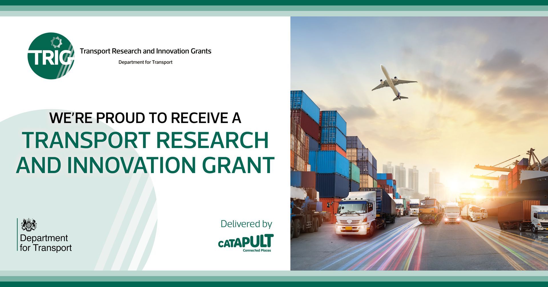
Surveyar have been awarded Transport Research and Innovation Grant (TRIG) funding to support research and development of emerging technologies that will support greater insight and evidence in supporting and prioritising key decisions.
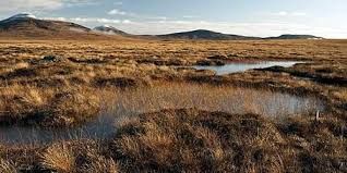
Climate Change means an increase in extreme weather events including wetter winter periods and hotter drier summers. These changes are and will have a profound effect on how we live, from impacts to infrastructure through to how we farm.
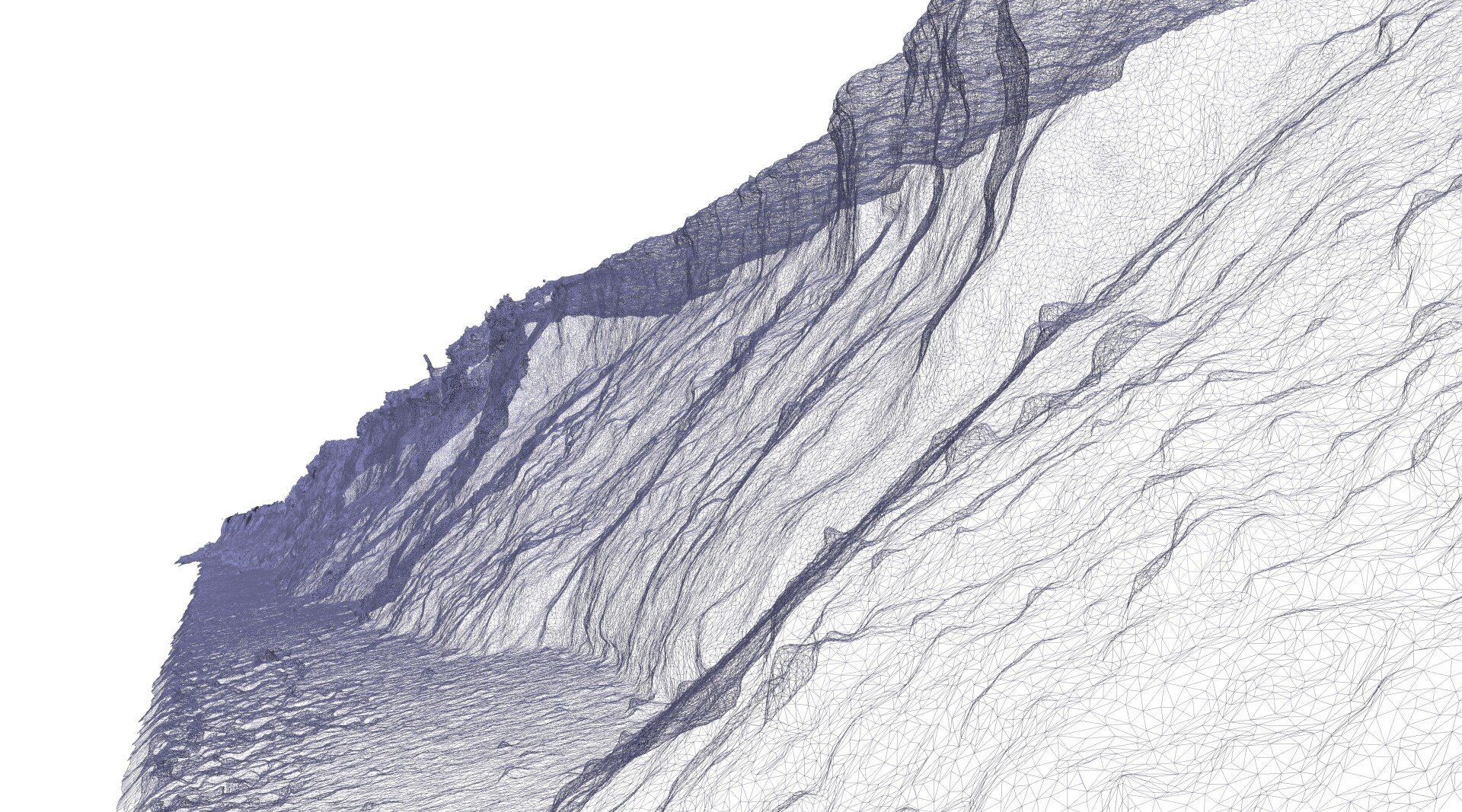
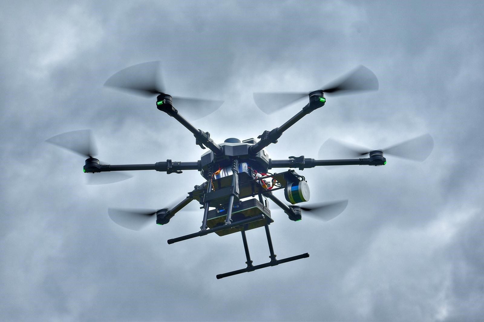
We are developing new and innovative processes to help survey and monitor climate changes and impacts using multiband synthetic aperture radar with a range of survey platforms and data fusion techniques. We have partnered with Network Rail to undertake first ever UK trials of the technologies with a solution integrated with unmanned aerial systems platforms to support high resolution outcomes.
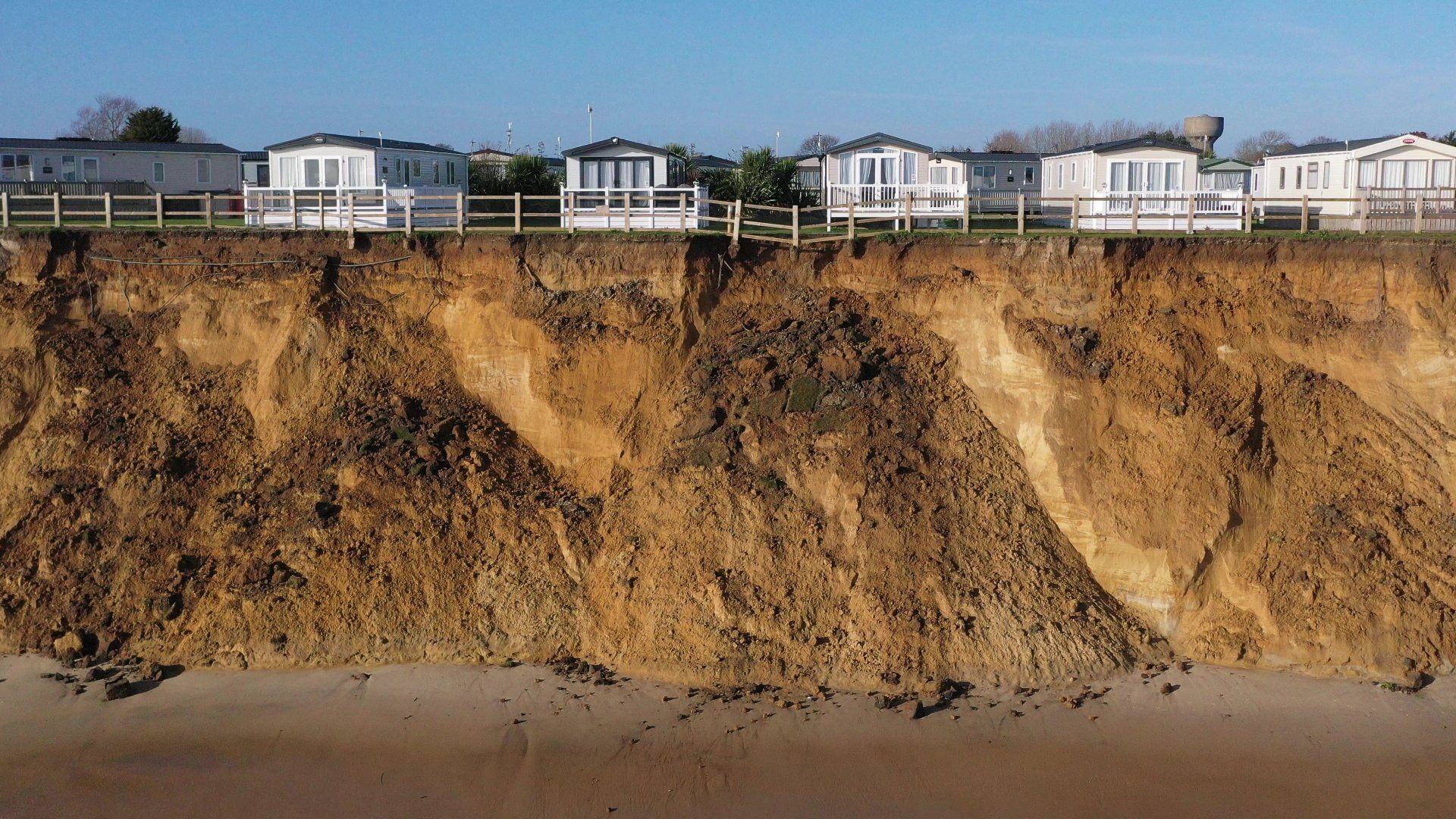
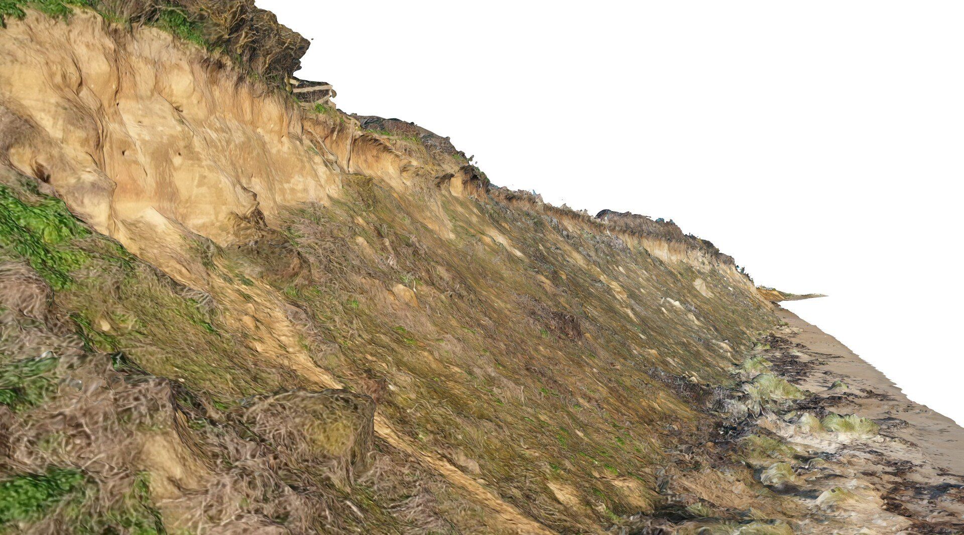
A total of 99% of all Network Rail railway embankments and cuttings in the UK were designed and built over 100 years ago. Failures of such embankments are subsequently increasing at a significant rate. Our technology will be used to assess critical factors involved in embankment failures and at varying scales to support slope risk appraisals.
Special thanks to @Armando Marino from #Stirling University for providing research support and to OfCOM for persevering with us and allowing the first UK experimental permit for this technology.
Want to know more… feel free to get in touch.
The TRIG programme helps SMEs and academics develop innovative research projects to improve the transport sector. It is funded by the Department for Transport and run by Connected Places Catapult.
#Remotesensing #climatechange #Innovation #TRIG #Transport #Innovation #Funding
@Connected Places Catapult @Department for Transport