BS02: Roof Condition Survey
Drone survey processes can provide a useful insight in supporting Building Surveyors in conducting roof condition surveys. The use of drones can provide full cover of a building structure while high resolution imaging, lidar, multispectral and thermal sensing can support a more fundamental richer survey from which a Building Surveyor can then use to target key areas and ground truth with manual inspection and testing.
Definition
A roof condition survey is typically undertaken by a qualified building surveyor as part of an overall building survey of a commercial or industrial property. A roof condition survey will typically include the structure, materials, construction, performance and condition.
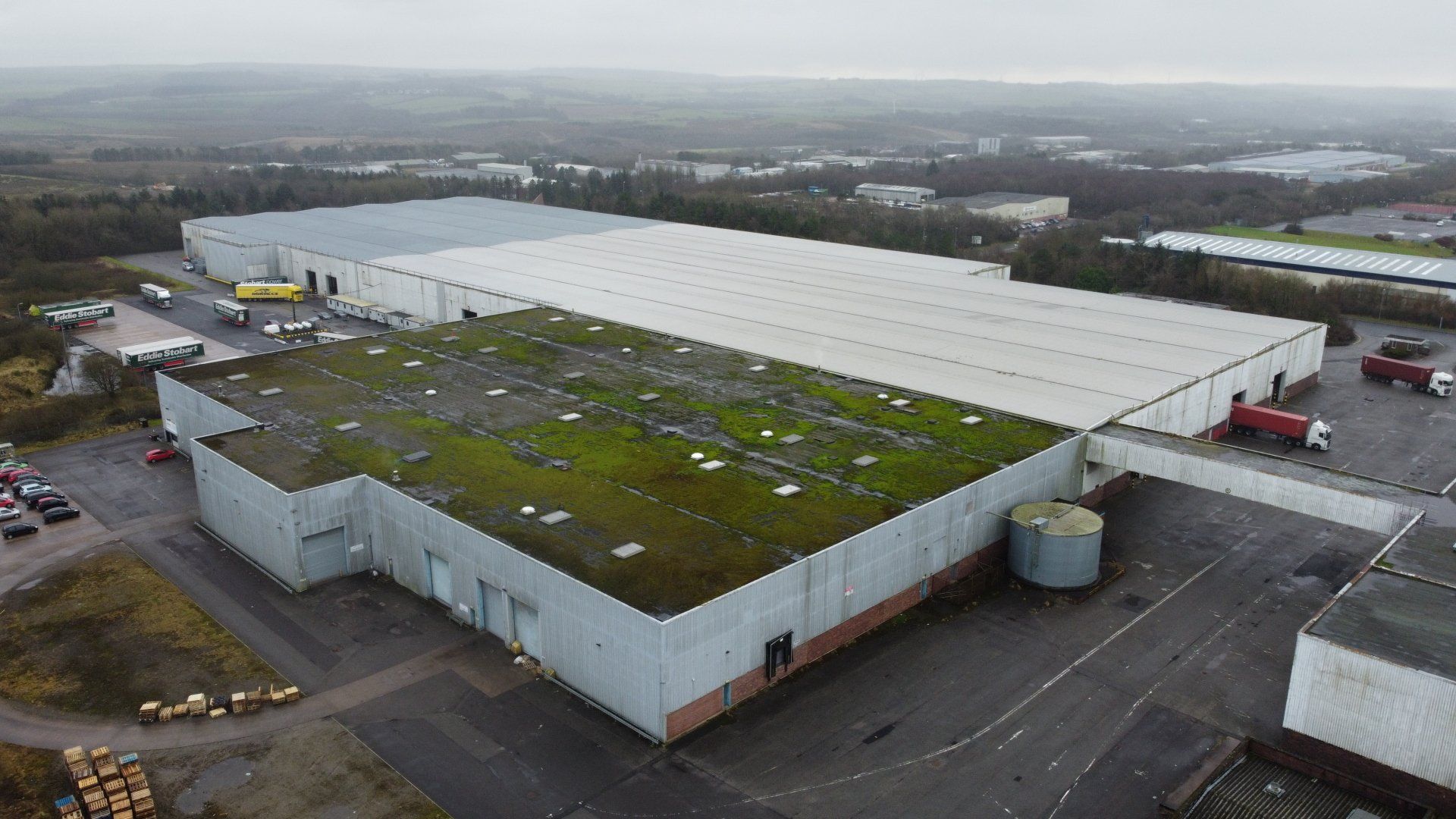
Typical Surveys and Assessments
Traditional roof condition surveys are undertaken using static aerial ground based platforms with the Building Surveyor located on the cherry picker obtaining photographic images and making observations on defects. The surveys are often undertaken at acquisition or divestiture or under regular maintenance inspection.
The aerial platforms do not necessarily provide full visual access of roof spaces and the survey process relies heavily on the experience of the building surveyor.
How do Drone Surveys help
Drone surveys cannot replace the experience of the Building Surveyor. However, drone sensing processes do offer enhanced value to the surveyor by including high definition visualisation and model, a survey grade point cloud from which to assess deformation/defects and assess light and thermal reflectance not available in the visible spectrums to support defect identification and insulation performance. The building surveyor can review this data and determine where best to employ any site based survey and testing to ground truth the data.
Surveys are designed to provide richer, more accurate and reliable data from which to
support a building surveyor and with this, optimise the survey workflow process. However, any surveys are designed to provide more comprehensive data for the building surveyor to support and enhance their report. The data can also be used to support measured surveys, monitoring of civil works activity and asset management (e.g. dynamic digital twin linked to existing asset management software).
LiDAR and High Resolution Imaging for Visualisation and Modelling
A combination of lidar with high-resolution imaging can provide complete survey coverage of the roof area providing a highly accurate and rectified model in 3D from which a building surveyor can use to undertake virtual observations of the roof area, use as a tool to support stakeholder/contractor engagement through visualisation and to use as a baseline for reviewing any mitigation works undertaken.
Thermal Imaging
Thermal imaging can be undertaken at the same time as lidar and photogrammetry. Radiometric imaging can support an assessment not only on the insulation and heat loss aspects of the roof, but also highlight possible defects.
Multispectral Imaging
Multispectral imaging can be used, at the same time as lidar and photogrammetry, to support the identification of defects within roofs which would not be visible to a building surveyor. The technique can be enhanced using hyperspectral sensing, if further more intensive survey were required.

Survey Benefits, Issues and Considerations
The following re-iterates some of the common issues that surveyors are faced with and which should be considered when selecting an appropriate survey method.
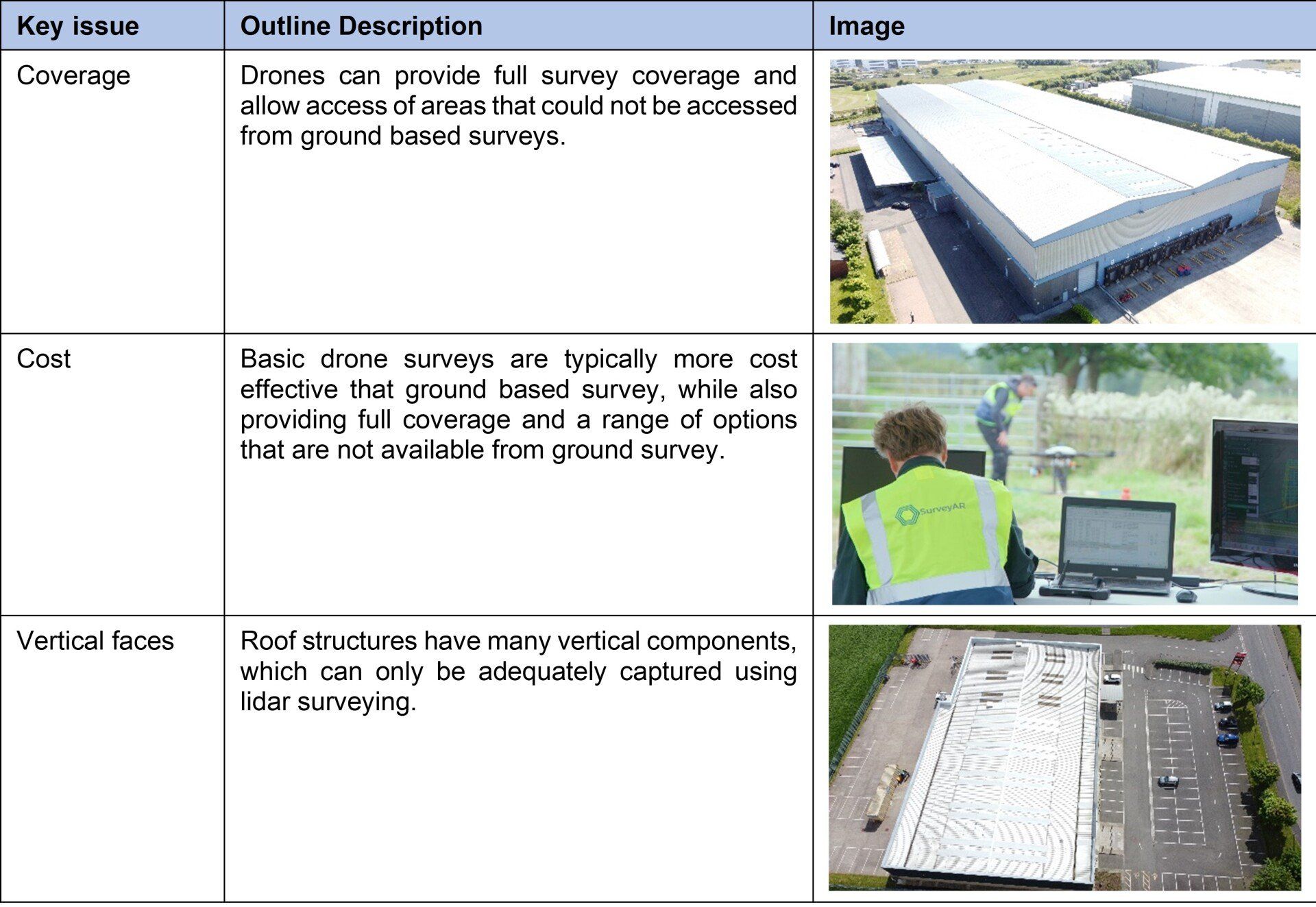
Drone based platforms are not infallible and have some limitations. These can include restricted flight areas and poor weather conditions. In many survey cases, it is useful to consider a number of survey tools from satellite data through to ground based survey.
Surveying Examples
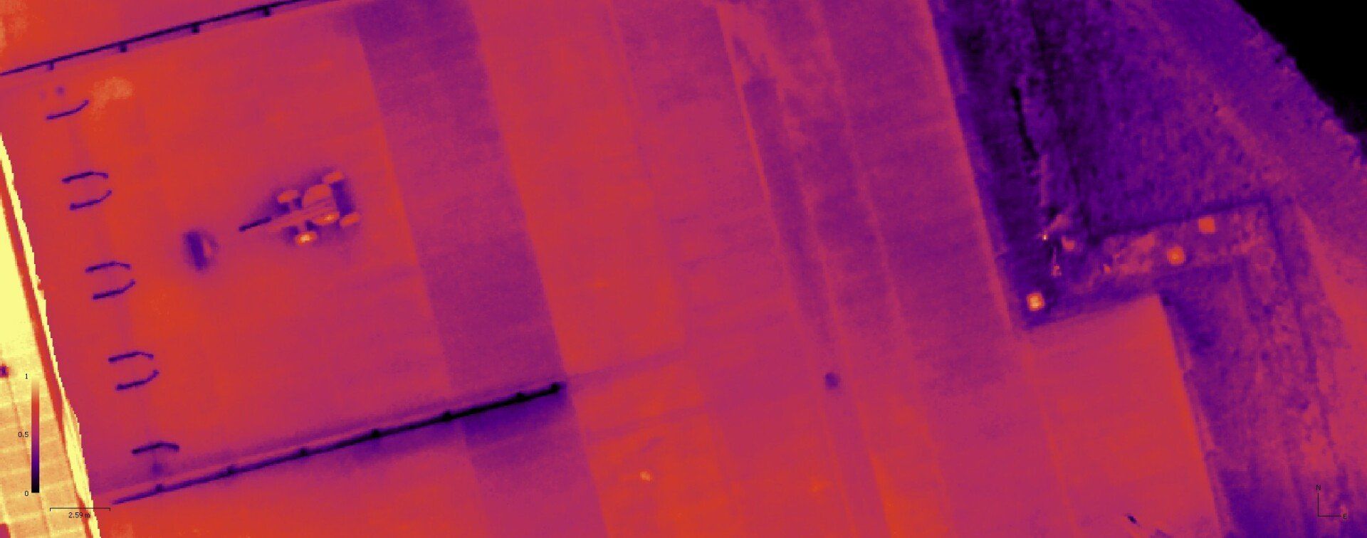
Thermal survey of an industrial facility in Crewe
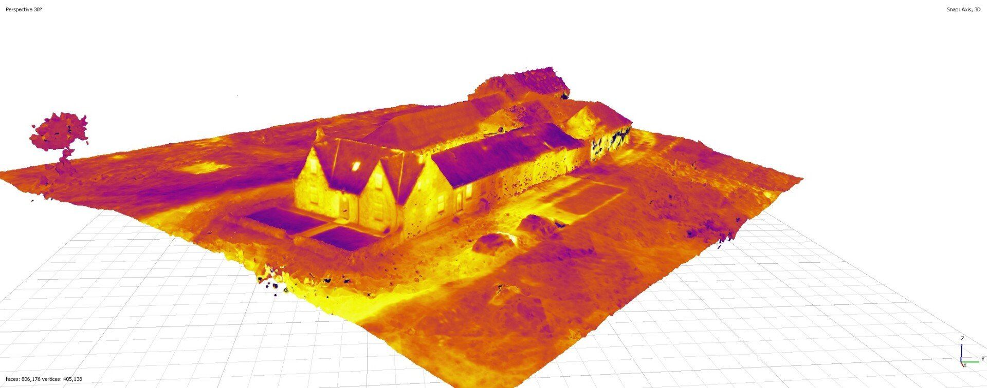
3d modelled lidar/photogrammetry and thermal survey of farm buildings in west of Scotland
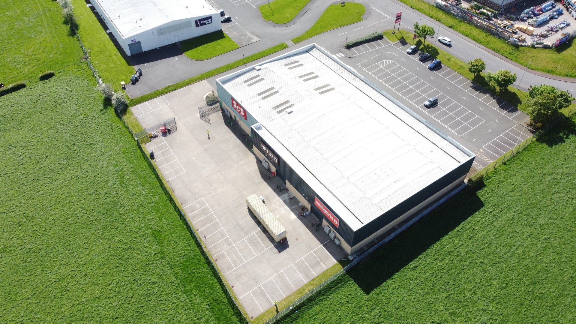
Basic building survey of property in Glasgow
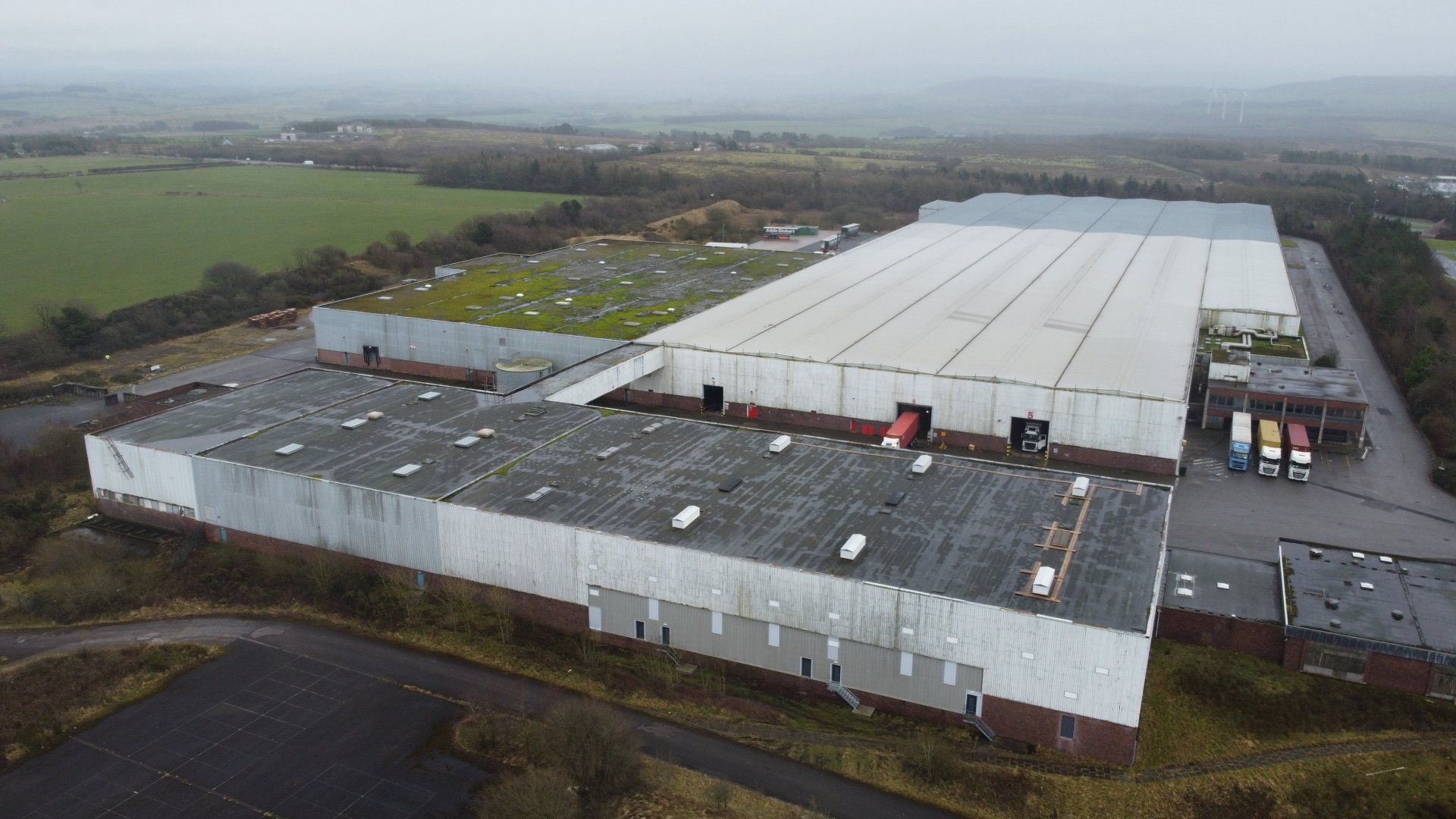
3d modelled lidar/photogrammetry and thermal survey of farm buildings in west of Scotland
See Also
